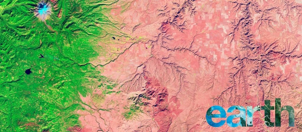
View the planet’s most remote landscapes from a satellite’s perspective.
NASA just released 168 pages of stunning images showing the planet’s atmosphere, water, land, ice and snow from a satellite’s perspective. For $53, you can buy a hardcover version of the book, simply titled Earth. Or you can accept the unavoidable truth that print is dead and enjoy the free, interactive online version on NASA’s Earth Observatory. And if you absolutely must take the book with you, there are free PDF and ebook versions too.
The interactive version allows viewers to click through gallery-style photos accompanied by descriptions that give context to the otherwise abstract images. Click on the ice and snow category, for example, and you’re presented with what looks like a Rorschach inkblot test. Text to the left explains that the image, taken by the Earth Observing-1 satellite in 2010, is actually of the Mertz Glacier flows off East Antarctica calving icebergs into the Southern Ocean. The first image in the water category looks like a bit like branching blood vessels under a microscope and is paired with a few paragraphs describing Australia’s Channel Country, the wide floodplains of Queensland. If you want to know more about a photo, a link brings you to the “full story,” where you’ll find additional background, references and resources. In other words, you’re one-click away from falling into a link-filled black hole.
If you’re wondering why NASA is giving away something that clearly took a lot of work to assemble, the agency hopes Earth will “inspire everyone to explore, understand, and appreciate the planet we call home.” The decision to offer free versions is an attempt to reach “those seeking solutions to important global issues such as changing freshwater availability, food security and human health.”


