
If you were hoping for a taste of summer temperatures during the last week of the season, it’s best not to hold your breath.
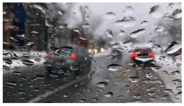
The cold, damp weather that has given the city the mopes since the middle of last week is expected to stick around for a while.
The capital region is being told to brace for days of icy, drizzling rain mixed with an occasional fall of wet snow.
While temperatures will improve slightly on Wednesday, the weather will be temperamental all week, with a chance of flurries on Sunday, Monday and Thursday — and rain on Sunday Monday, Thursday and Friday.
The average temperature for this time of year is 17 C but it’s not expected to get any warmer than 11 degrees this week.
- Sunday night: Snow mixed with rain ending in the evening then cloudy with 60 percent chance of drizzle. Fog patches developing before morning. Low plus 1.
- Monday: Mainly c—loudy. 30 percent chance of flurries changing to 30 percent chance of rain showers late in the morning. Fog patches dissipating in the morning. High 7.
- Monday night: Cloudy with 30 percent chance of showers. Low zero.
- Tuesday: Cloudy. High 10.
- Tuesday night: Cloudy periods. Low plus 2.
- Wednesday: A mix of sun and cloud. High 11.
- Wednesday night: Cloudy. Low plus 1.
- Thursday: Cloudy with 30 percent chance of showers. High 6.
- Thursdaynight: Cloudy with 60 percent chance of rain showers or flurries. Low plus 1
The snow started falling in Alberta just after 12 p.m. Wednesday, leaving up to 15 centimetres in some areas of the province as a cold front moved in from the Northwest Territories.
In Edmonton, Friday was a record for wintry weather. A total of 3 centimetres of snow fell in the capital region, the most seen on that date during all the time Environment Canada has kept records.